Cycling the Skyline Drive
I got back from Alaska two years ago, and ever since then, I have accumulated a ridiculous wish list of travel ideas. Hell, even today I watched some videos of places I’m thinking about diving in Mexico once I get open water certified. It turns out I discovered quite a few things to do around where I grew up in Appalachia as well. All this time, my own back yard was full of places to take my bike, raft, backpack, or some combination of the three. Once I realized this, I started researching and drafting routes of all of my trip ideas.
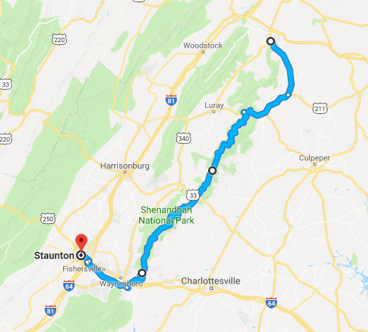
Most of the trips I was thinking about doing would take around two days, and since it wasn’t economical to go back and forth from Chicago, I would have to make Virginia my staging point and then use the weekends to go out. Fortunately, that was doable as a web programmer as long as I had an internet connection and a quiet place to work. I wasn’t going to take vacation time for this if I could help it. I flew to my parents house in the beginning of August, spent the work weeks getting through projects for my company, and used the weekends to make up for lost time in my home country. Four weekends to be exact, starting with the Skyline Drive.
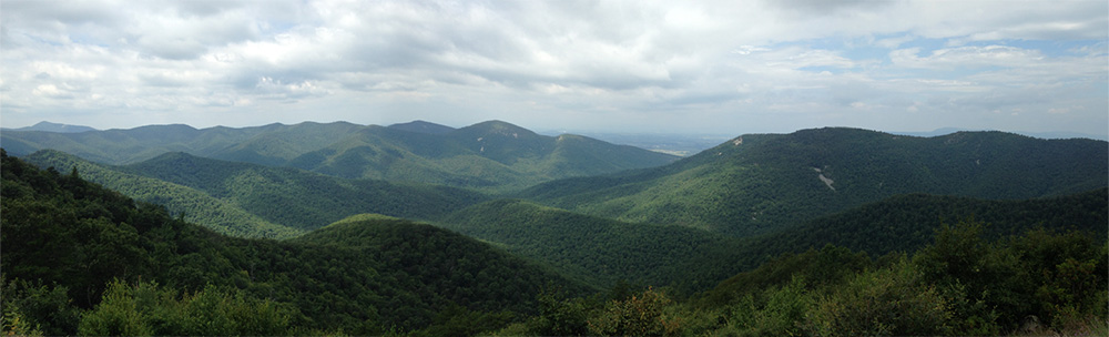
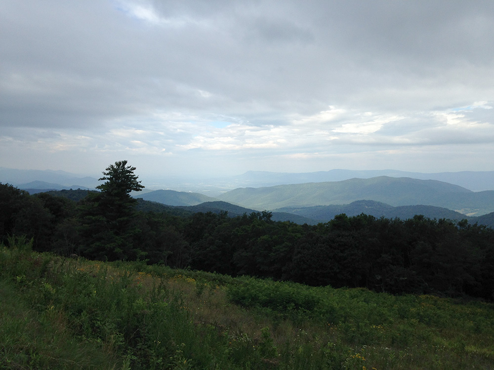
As a scenic highway that parallels the AT along the Blue Ridge Mountains for 105 miles, the Skyline Drive is one of the best roads in the state for bicycling. It winds along ridgelines and mountainsides for the entire length of Shenandoah National Park, with great overlooks to stop every few miles.
I had never cycled the drive in its entirety, but only the bottom half of it once in 2008 right before moving to Chicago. I flew in on a hazy evening earlier in the week, and my dad dropped me off at a hotel in Front Royal that Friday night, a mile from the northern terminus of the drive. I left early Saturday morning with overnight cargo. My plan was to get through it in two days, ending the second day back at my parents house in Staunton.
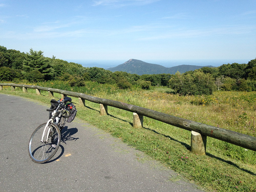
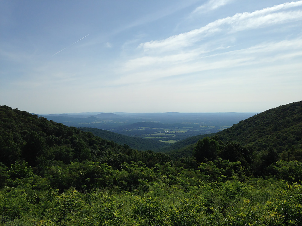
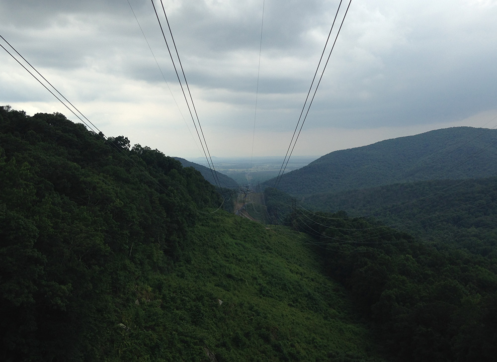
The first half of the day was almost entirely uphill, going from 600ft in elevation to 3,500ft at Big Meadows Campground, where I planned to set up camp for the night. The road was smooth and well maintained, although there wasn’t much of a shoulder. A lot of my time was spent surrounded by trees, only to break out into great, scenic overlooks of the Piedmont hills to the east or the Shenandoah Valley to the west. Other vehicles, motorcycles, and cyclists went by for pretty much the whole day.
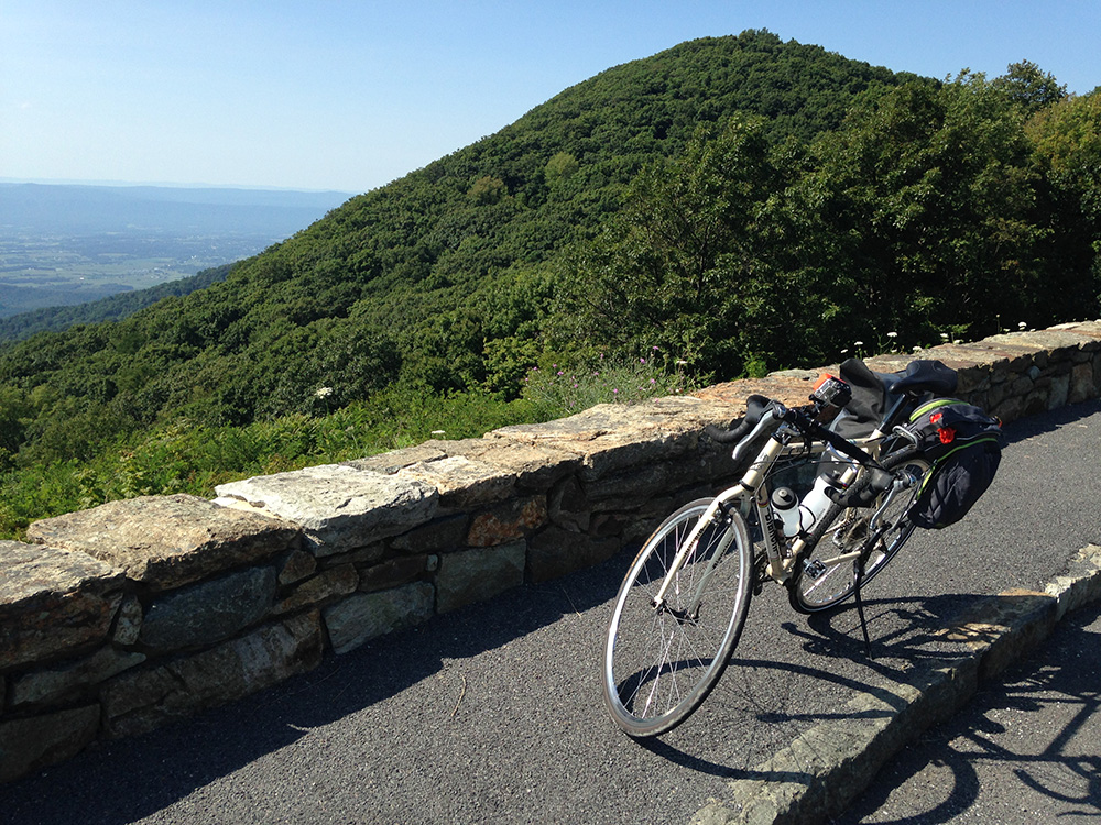
Most of it was easy at my fitness level except for one place: the climb between Thornton Gap and Pinnacles. For 3.5 miles, I had to fight my way up a 5% grade between Rt. 211 and the Pinnacles Overlook. It would have been one thing if it were earlier in the day, but I had already been riding for four hours. By the time I got to the top I was wiped out, although the view of Old Rag Mountain was very party. Pinnacles was near the summit of the drive, and mostly went on level elevation along a ridgeline all the way to the campground. Nonetheless, I was exhausted, and my pace was as lazy as I could possibly make it.
I finally reached the campground in the late afternoon and got food at the lodge. When I came back to the camp, my friend Brent and his brother were setting up their tent next to mine. “Hey, what the hell you boys doin’ at my campsite!” They laughed and we spent the evening drinking around a fire and catching up on old times. I drank some bourbon that I bought in Front Royal and brought along in one of my panniers, as it’s important to travel light and not let anything go to waste.
The next day was almost entirely downhill, and mostly overcast with a few breaks of sunlight over the valley. I descended to Swift Run Gap and Rt. 33, then made my way for Waynesboro, going over negligible climbs and bigger descents. At the end, I went downhill for 8 miles all the way to downtown Waynesboro. From there, I pedaled westward on Rt. 250 like I had done a hundred times as a teenager.
Whether by vehicle or bike, the Skyline Drive is a great scenic highway to travel. It is well-documented on its NPS website, and has mileposts for its entirety, making logistics pretty straightforward. On a bicycle, it is mostly easy as long as you’re in shape, though the southward climb after Thornton Gap is a pain in the ass. And if you’re not in shape, it won’t be easy but still doable.
Check it out and see the panoramas for yourself.