Tour du Mont Blanc - The South Circuit
From a hotel in the Chamonix Valley, I looked out as the August morning sun lit up the highest mountain in western Europe. Situated in an already magnificent part of the Western Alps, Mont Blanc is a snow covered monstrosity in its own right. Some ten miles wide, 30 miles long, and at an elevation of 15,766ft it's a massif of ice and granite wholly impossible to see completely from the ground. I stood at the window from my hotel room looking at it equally with excitement and trepidation at how the coming days would unfold.
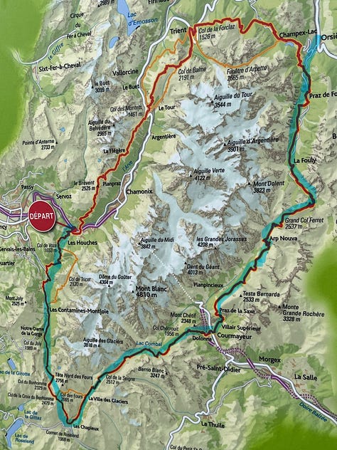
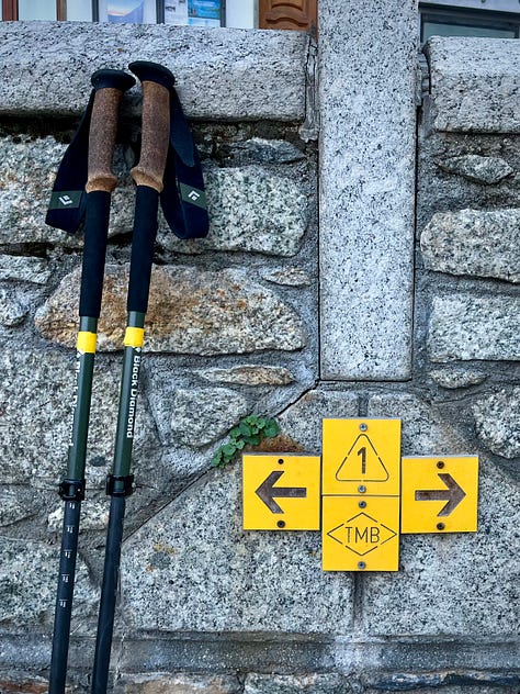
The Tour du Mont Blanc, or TMB, is a hiking trail that circles around the entire mountain, crossing the borders of France, Italy, and Switzerland for 103 miles. Most hikers start at the trailhead in Les Houches, a French town in the west end, and hike counterclockwise around the mountain before reaching the same place again, roughly ten days later. I had taken a bus into the mountains from Geneva, got a hotel close to the trailhead, and was about to start with the goal to complete the south circuit from Les Houches to Orsieres over about a week.
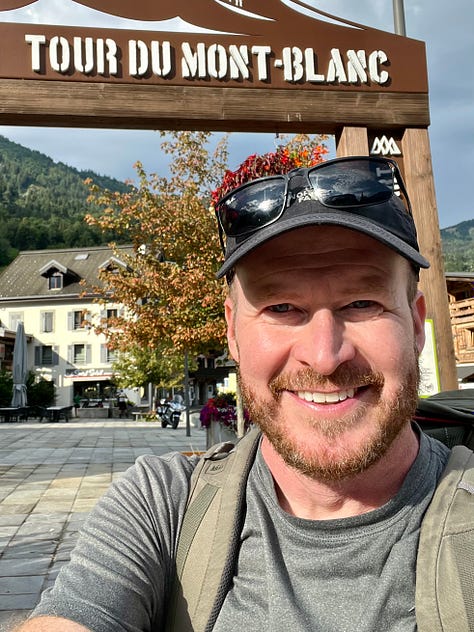
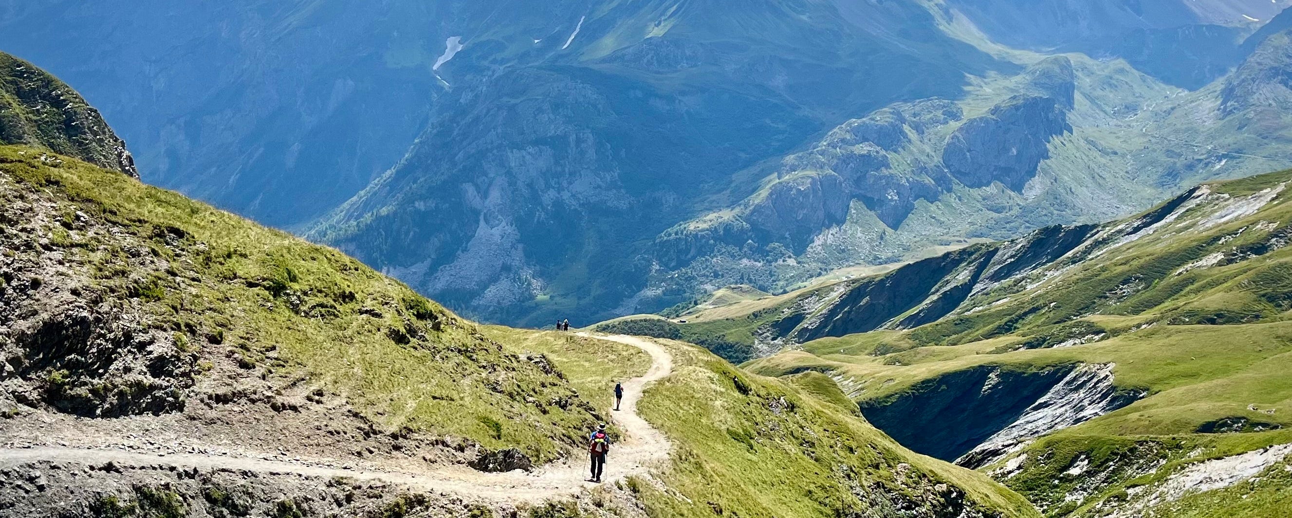
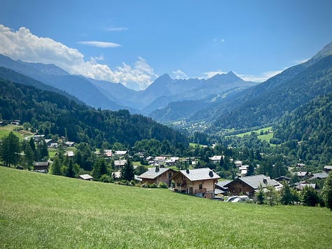
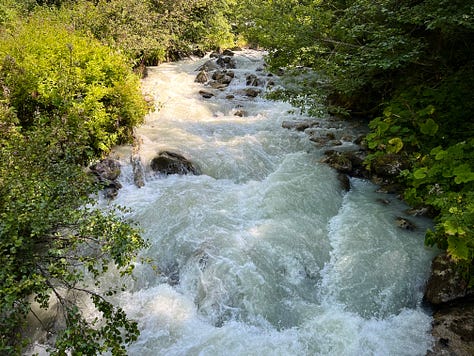
The trail left the road and immediately ascended the first pass, Col du Tricot with about 1100m gain over one of Mont Blanc's western ridges. It was a steep and tiring climb, but doable. I reached the top at noon and started down the other side, hiking through forested hollows and past numerous rushing mountain creeks. I reached an open field and looked down at the small towns spread out along the valley ahead. After some gradual decline, I found the campground at Les Contamines and checked in.
Which made me glad that it was pretty straightforward so far, especially considering how little planning I had done. I started the trek with no idea where I would get food or lodging throughout the week. There are refugios where you can stay, but all of those got booked months in advance, forcing me to bring a tent. But how available the campsites would be in the busy season was another question, one with no immediate answers. But it seemed to work so far.
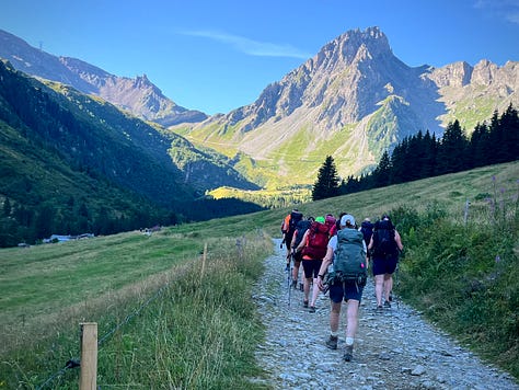
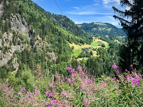
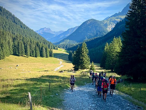
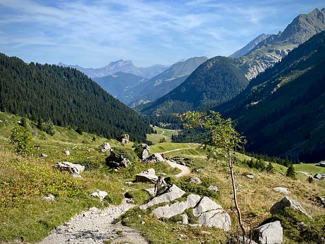
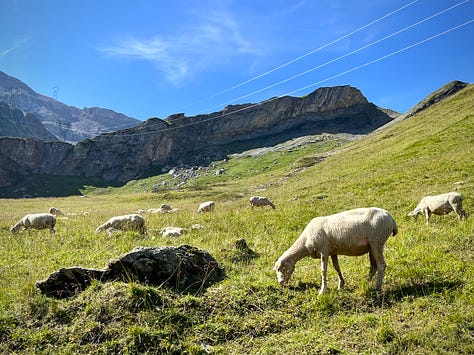
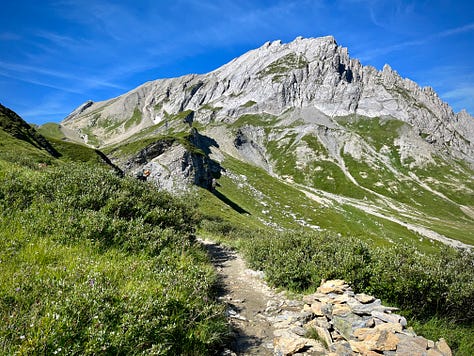
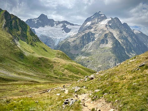
I continued south the next morning along the narrowing valley, hiking among numerous groups of people and an occasional dog. The ascent from there to Col du Bonhomme was steep and painful as it went over rocky terrain in the alpine heat. I was out of shape and exhausted barely halfway up this bastard of a climb. I thought, is every day going to be like this? The TMB is laid out so that you hike over about one pass, or "col", per day. I tried not to think about it as I pushed myself upward, nearly scrambling at times in my heavy pack, all in the view of immense, limitless rugged mountaintops and alpine sheep.
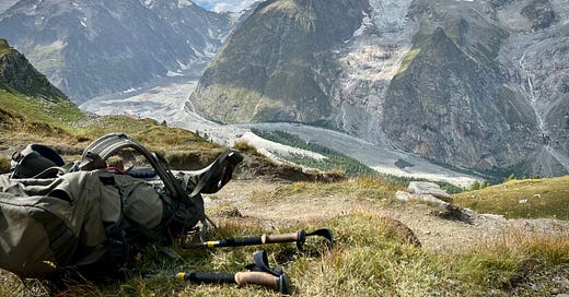
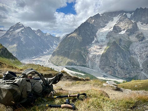
I finally reached the top and threw my pack off, exhausted. The valley from which I came faded far below in an emerald colored haze. Even on that exposed ridge it was a clear day with barely a breeze to be had. It was indeed August in the Alps.
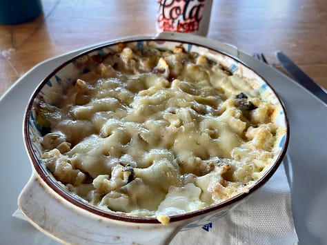
Continuing on, the trail went along the mountain to the left for what ended up being a painful mile of uneven, rocky surfaces. But I finally got to the Refuge de la Croix, and was able to restore my badly depleted energy with a bowl of meat and pasta. I didn't know at first where I would get food out here, but it turned out that the TMB was full of village cafes and refugios where you can refuel before the next mountain pass. No need for a stove or backpacking food or any of that nonsense. Seriously, would you like a fucking baguette with your wine and cheese? It was great.
I refilled my water and continued east. The trail went steeply down the mountainside for hours. I could see the Les Chapieux Campground and two restaurants way down at the bottom the whole time, making me feel like I was closer than I actually was. I finally reached the valley floor at mid-afternoon.
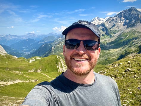
I was doing it wrong. There has to be a better way, I thought, to get over these mountain passes without pushing myself to the edge of exhaustion. Back when I did bike tours I would haul a touring bike with cargo and gear over the steep mountain grades in the western US and had the same problem at first. But I eventually figured out that I needed to pace slower, drop the gears, and pedal slowly at a high cadence. The point was to set a slow pace and save my energy. Today's pass, Col de la Seigne, was my next chance to try this theory on foot.
After a couple hours of gradual incline, the trail suddenly started winding steeply up the right side. I relaxed and slowly made my way up the winding trail. Like a turtle. Three hours later I reached the top. I felt great, partially because the overcast weather spared me any punishment from the sun, and because I did it the right way. I crossed the into Italy, which would have some of the most magnificent scenery yet.
I had originally thought to camp somewhere soon, but realized that I could push over the next pass and get an extra day of rest at a hotel in Courmayeur. So I sat down by the trail, got out my phone, and changed my reservation to an additional day.
"Hey, did you hike the Camino before?" somebody said. I looked up. It was another hiker who saw the tattoo on my wrist of a seashell and cross, the emblem of the Spanish Camino de Santiago.
"Yeah, I hiked it last year," I replied. He introduced himself as Steve, or more specifically, Camino Steve on his Instagram. He went on to say that he was inspired to hike the Camino because of a dream he had that his late father spoke to him of a "World's End Sign" a number of years ago, which upon waking turned out to be the Camino's final milemarker and western terminus at Cape Finisterre: The mythical edge of the world and end of all things. And so, he went on a quest across the Spanish countryside to reach this place in his father's memory.
For me, though I made the same journey by way of a different story, we both ended up in the same place and with the same understanding that such a prominent cape on the edge of the Galician coast is truly of another realm. And yet, it would not be the last adventure. Not for either of us. When will that ever happen?
In any case, I needed to get going. The trail forked, either to continue along the valley towards the next campsite, or over the ridge to the right towards the town and my hotel, some eight horrible miles further. Well, you only live once, I guess. I started upward, already exhausted.
The trail wound its way up a mountainside hollow, and even at a slow pace was absolutely backbreaking. I stopped for a break just after the tree line and met Antonio, who started his trek in Courmayeur about ten days ago. He was making an extra push to get to the end of his hike in the late day. A 400 meter gain shouldn't be this bad, but there we were, hauling our gear and our miserable selves up an impossibly steep ridgeside, begging the mountain to spare us of anymore pain. Meanwhile, Mont Blanc itself showed its most magnificent presence yet from across the valley in thundering, resounding glory.
We finally crested a mountain spur, marking the end of the horrible climb. The trail continued along a gradual decline for the next hour before crossing a ridge saddle and descending towards the town. I reached a refugio at the ridge top in the late afternoon and bought a few snacks.
A familiar face sat at a nearby table. It was Camino Steve. He went on to tell me more about his Camino adventures while I sat down and gave my body some badly needed calories. It was all really interesting but I needed to get going in the late day and wished him luck. He went on to finish his Tour du Mont Blanc a week or so later, and continued trekking into the high places eastward.
I started downhill towards the town, already disappointed that the gondolas were closed, forcing me to hike the ski resort's maintenance roads instead. It would have been okay if it weren't for the fact that I developed a shitty case of chafing in my groin area. A day's worth of friction between my thighs and my balls had finally caught up with me as I walked miserably down the mountain. And the Vaseline only went so far. Fuck, I have to get to my hotel!
But I finally made it, waddling into Courmayeur at 6pm like a penguin. Another backpacker and his girlfriend passed me on the sidewalk. Sensing my distress and exhaustion at that hour, he said "You're almost there!" Finally I got to the hotel, checked into my room, went straight for the shower, and then crashed for ten hours.
And after that was two days of well-earned rest.
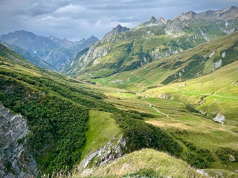
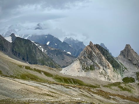
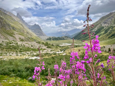
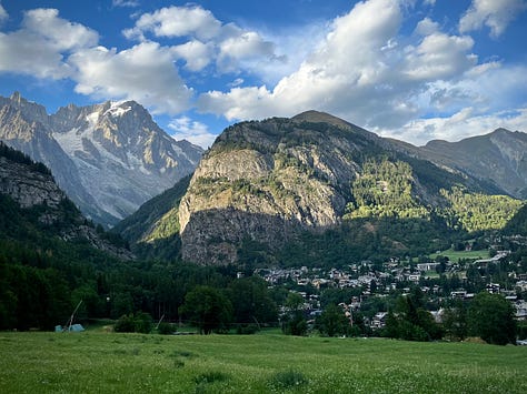
I frequented a pizza restaurant just across the river, somewhat daunted by the language barrier. English isn't as common as a second language in Italy as in other Western European countries. I thought it would be fun if I stayed, downloaded Italian on a language app, and started learning how to talk to the people.
And the rash cleared up by the second day, but I needed to find something to prevent it from coming back. In the states we have things like Chamois Buttr or Body Glide for this, and I thought that surely the outdoor stores in a touristy mountain town like Courmayeur would have something similar. I went from place to place in the city centre and none of them carried anything. They just pointed me to the next store and eventually named the place where I had first started. There were plenty of mountain bikes and Patagonia jackets everywhere, but not a single outfitter sold anything to help with chafing? I mean, maybe the Italians are averse to the idea of a daunting scrotum rash, but who really knows?
In a last ditch effort, I went to a grocery store to see if there was anything useful in the skin care section. And suddenly there it was. Chapstick. That could do it. Of all things, freaking chapstick. I bought a few sticks and went back to my hotel.
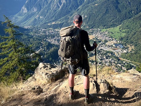

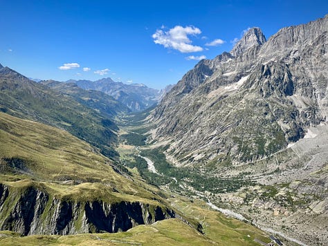
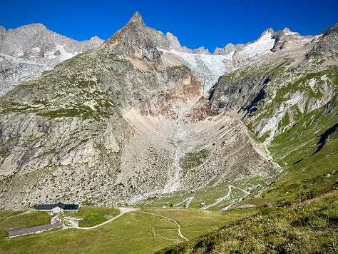
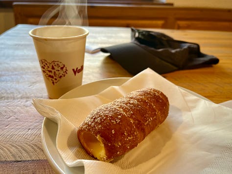
Early the next morning, I got pastries at a cafe and continued north out of a neighborhood and up the forested side of the next mountain. Near the top was a good view of the town, and thankfully no more apparent chafing problems. That chapstick ended up saving my ass (or more specifically, my nuts), and the trail continued around the mountain going northeast above the valley.
I reached Tronchey, the next campground, at midday. After setting up my tent, I laid on the grass and watched the colorful parachutes of four paragliders slowly turning and flipping about high in the wind in front of the steep wall and craggy spires of the mountain.
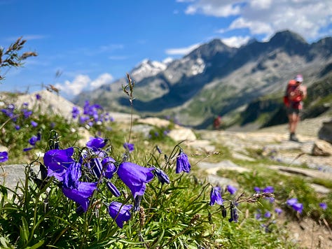
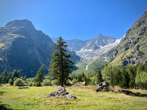
Continuing on the next next day, I had one more pass, Grand Col Ferret, to cross on this circuit. I started as early as I could to get to the ascent while there was shade. Because if there's one thing that really drains my energy out here, it's the sun. From the summit, this pass had one of the most remarkable views of the entire hike. I looked back at twelve miles of the valley, spread out beneath a vast panorama of stone gods, crisp blue skies, and lazy summertime clouds. Then I turned northeast and took another step, crossing into Switzerland.
That evening in La Fouly, I went to get pasta at the restaurant next to the campground. I wanted more protein after a long day on the trail and looked at the appetizers. One of them was "Polenta". I looked it up on my phone and it said that it was a type of corn based porridge. It sounded good so I ordered one. When they brought it out, I suddenly lost track of thought at what I was looking at.
Good old American grits. Out here. A diner staple of many a USA road stop, family restaurant, Denny's, and Waffle House, had found its way out here - or more likely by coincidence it was always part of their cuisine. I almost asked them to bring me some butter and cheese. This trail was full of surprises.
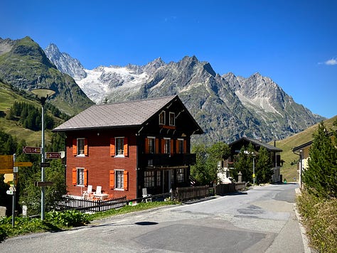
The TMB went along the road for most of the last morning. Just before Orsieres, it veered left and up the northeast end of Mont Blanc, disappearing into the next pass. It would go around the north side of the mountain for what would be three more days of hiking, most notably up the facing mountain of Le Brevent - most assuredly with a great view across the Chamonix valley - before finally descending to the starting point in Les Houches.
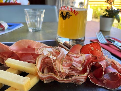
It was an alluring idea but I was on a schedule. So I continued on the road instead towards Orsieres to catch the next train out of the mountains. But only after getting a charcuterie board and beer from the restaurant next to the station. Again with the food out here.
The whole area has a great transit system. Even the remote towns have passenger trains going to the major cities on semi-hourly schedules. And the road on the Italian side had buses going by every hour. At some point I want to come back and finish the north circuit. And I know exactly how I would fly to Geneva, take a train into the mountains, get a taxi to the trailhead, and keep going.
You can check out the Insta videos I made about it here and here.

